NBS4Drought
Showcase 05

Small wetlands water bodies to maintain biodiversity and water resilience around Lake Constance, Germany

A network of around 100 small water bodies in the western Lake Constance region maintained for biodiversity, buffering, and drought resilience.

GermanyWarm and humid continentalRural

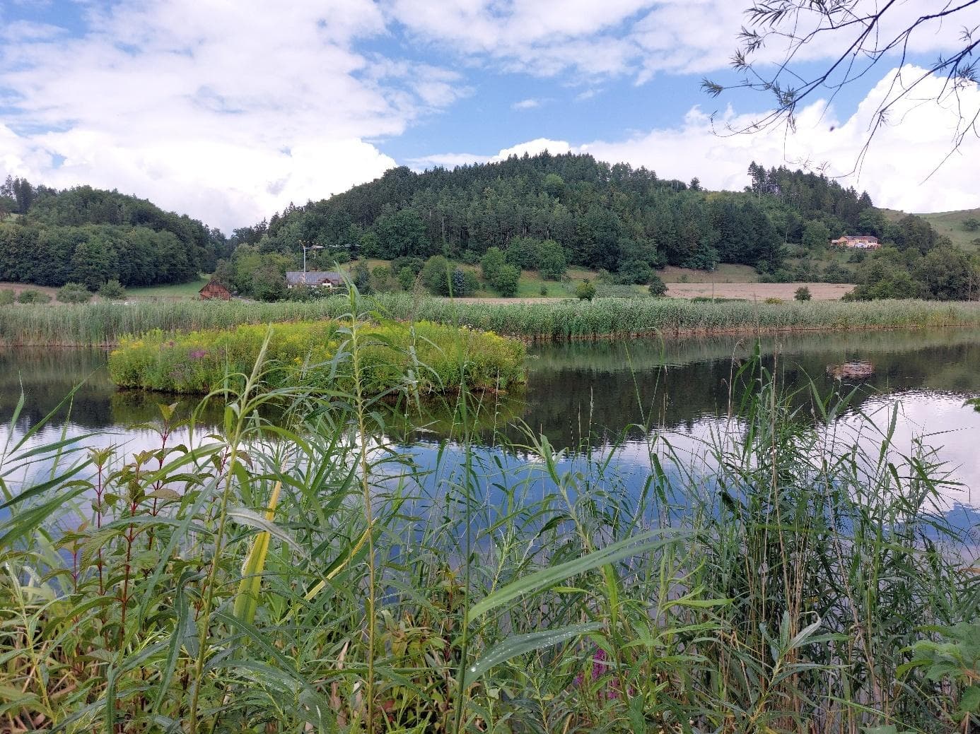
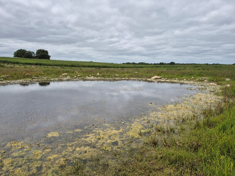
This showcase covers a network of smaller water bodies in the western Lake Constance cultural landscape, maintained by partners including the Heinz Sielmann Foundation and the Landscape Conservation Association of Western Hegau (FOE). Ponds are distributed across the Lake Constance basin, Linzgau hills, and Western Hegau, originating from the INTERREG project 'Small Waterbodies for the Lake Constance Region' (2015–2019). Interventions include pond excavation, natural shorelines, shallow zones with reeds, sediment removal, vegetation management, buffer strips, grazing, and water-level regulation to support amphibians, dragonflies, reed warblers, and other wetland species.

Socio-economic monitoring shows how people access, use, perceive, and engage with this showcase. It combines partner-uploaded social indicators and accessibility analyses.

Accessibility

Awaiting data

Visitors

Awaiting data

Engagement

Awaiting data

Latest indicator overview

Awaiting data

JanFebMarAprMayJunJulAugSepOctNov
S1A Time accessibilityS1B Wetland visitors

Configured indicators (Socio-economic)

CodeIndicatorWhat it measuresSourceFrequencyStatus
S1ATime accessibilityPopulation or travel-time access to the wetlandPartner upload / External Data AnalysisAnnualAwaiting data
S1BWetland visitorsNumber of visitors per yearPartner uploadAnnualAwaiting data
S1CUsers accessibilityPotential users per km²Partner upload / External Data AnalysisAnnualAwaiting data
S3APublic involvementParticipation in wetland-related activitiesPartner uploadAnnualAwaiting data
S3BVirtual engagementOnline or digital engagement levelPartner uploadAnnualAwaiting data
S3CSocial contribution to scienceNumber or percentage of public contributionsPartner uploadAnnualAwaiting data

Related forum discussions

  • Interpreting water quality trends for this showcase
  • Biodiversity monitoring data gaps
Open Forum

Gallery

Field images and visual material

Images help communicate site context, monitoring activities, and nature-based solution interventions.

Pond network map — Lake Constance region

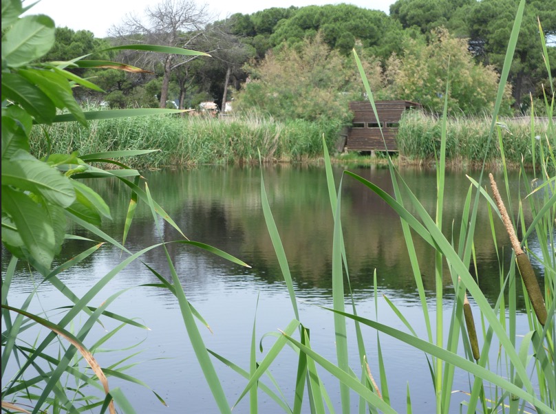
Wetland habitat supporting biodiversity

Regional pond network in Western Hegau